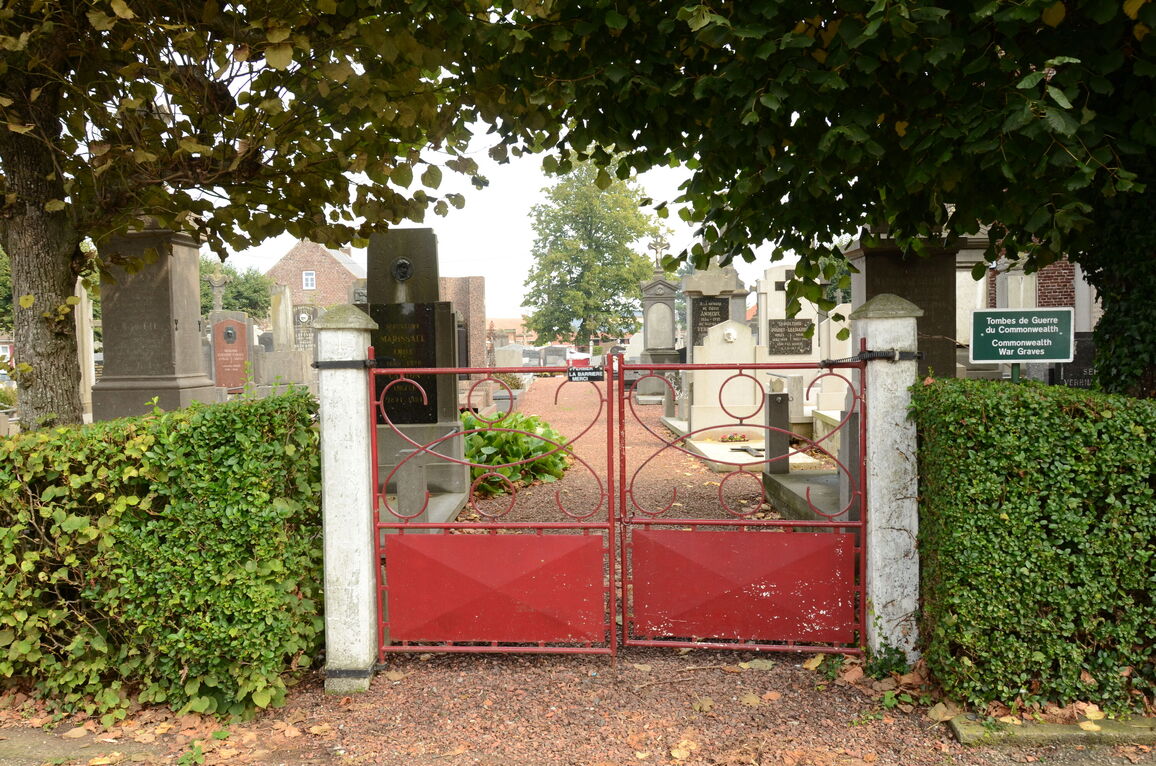
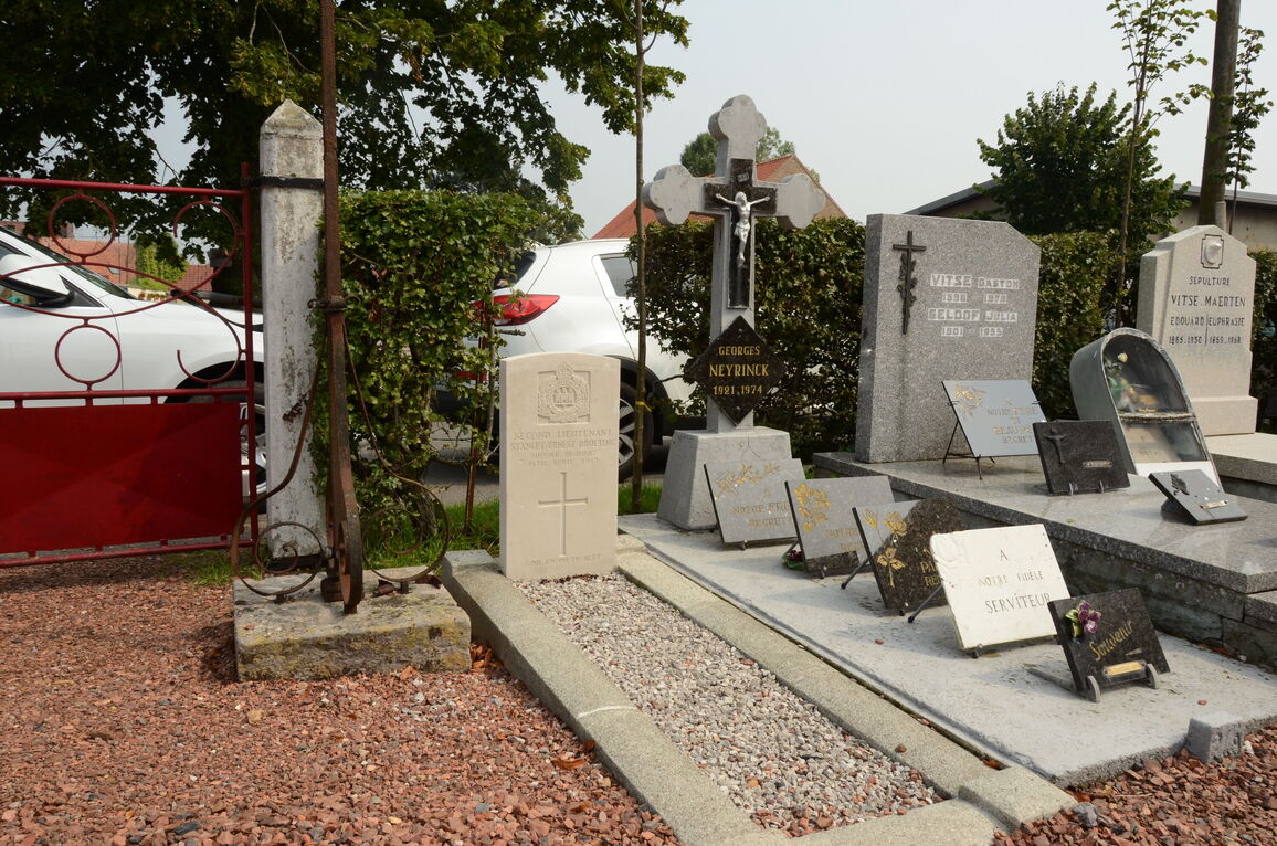
Houtkerque Churchyard
- Country France
- Total identified casualties 7 Find these casualties
- Region Nord
- Identified casualties from First World War
- GPS Coordinates Latitude: 50.8766, Longitude: 2.59702
Location information
Houtkerque is a village in the Nord Department near the Belgian border, 8 kilometres north of Steenvoorde, on the Steenvoorde/Honschoote road.
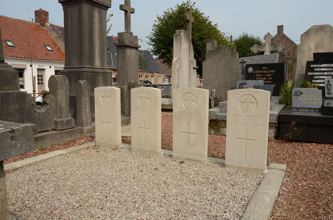
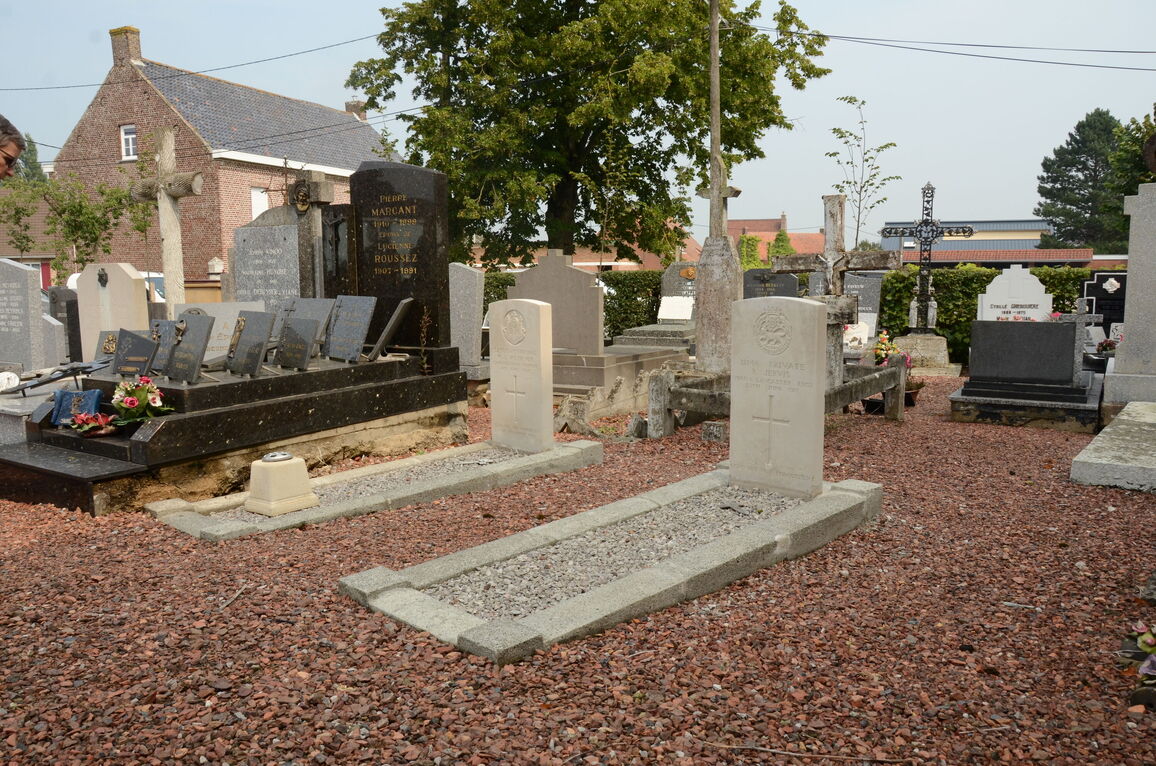
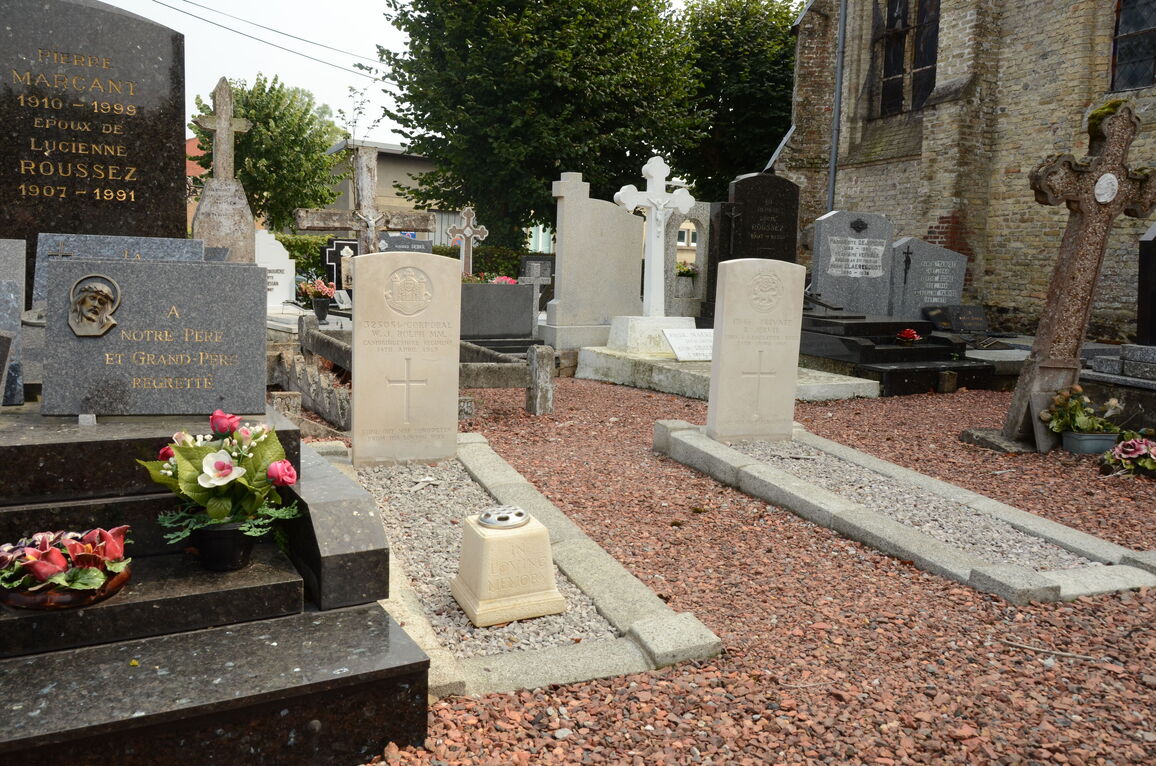
The 7 Commonwealth war graves are contained in the section to the left hand side of the church. One plot of 4 graves are in the second aisle on the left, and three single plots are on the rear right hand side.


