Auchonvillers Military Cemetery
- Country France
- Total identified casualties 487 Find these casualties
- Region Somme
- Identified casualties from First World War
- GPS Coordinates Latitude: 50.08059, Longitude: 2.62674
Please note
We are aware that access to this site may be difficult. Please accept our apologies for the inconvenience. We are currently discussing improvements with the neighbour.
Location information
Auchonvillers is approximately 20 Kms south of Arras.
Using the D919 from Arras to Amiens you will drive through the villages of Bucquoy, Puisieux then Serre-les-Puisieux. On leaving Serre-les-Puisieux, 3 Kms further along the D919, turn left following the signs for Auchonvillers. At the crossroads in the village centre follow the CWGC signs for Auchonvillers Military Cemetery which is on the outskirts of the village on the right hand side.
Visiting information
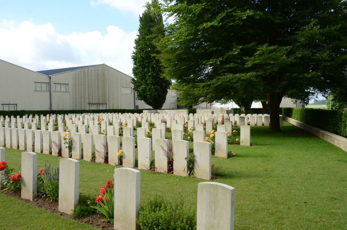
The cemetery is behind industrial and agricultural buildings on the edge of the village. Access to the cemetery is by following a grass path that runs between agricultural and industrial buildings.
ARRIVAL
The cemetery is signposted at the side of the main road (D73).
PARKING
It is possible to park close to the main entrance by passing through a large laydown area. There is an unpaved track leading up to the cemetery entrance with a compacted gravel/dirt adjacent to the main entrance of the cemetery.
Please note that it is an industrial space with large articulated vehicles operating in the area.
ACCESS LAYOUT AND MAIN ENTRANCE
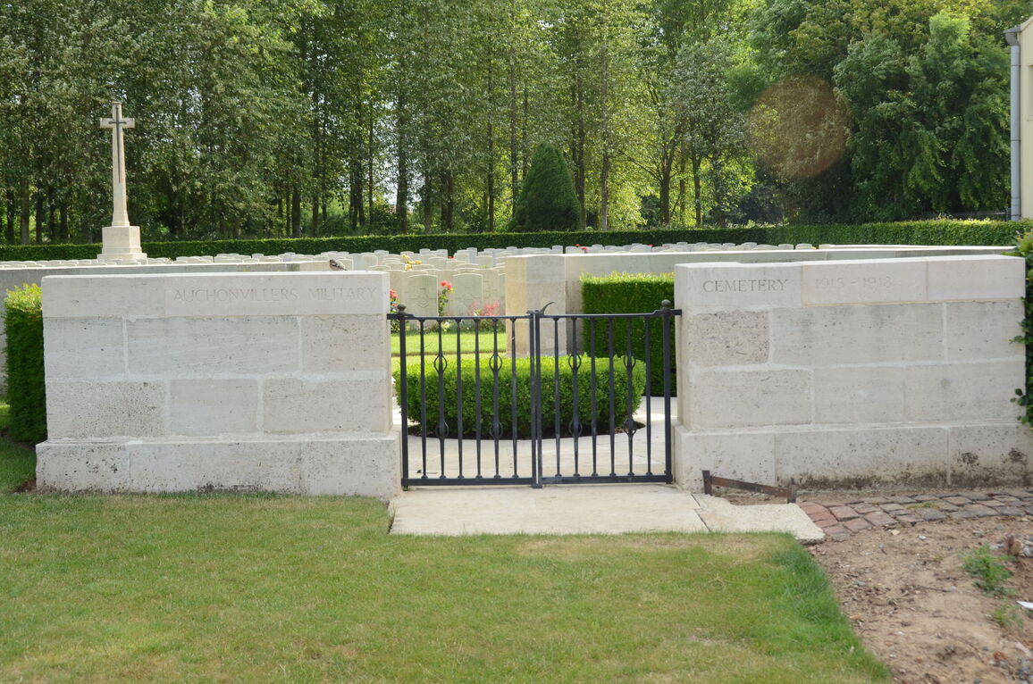
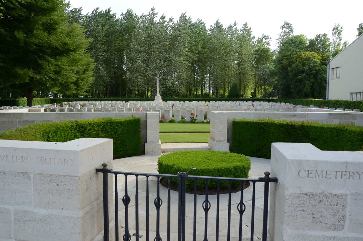
The main entrance to the cemetery is located at the end of a grass pathway marked by CWGC Cemetery Direction Signs on the side of the road. There is a paved area in front of the entrance gates that leads into the cemetery. The gate is two-leaf, black, metal mid-level (thigh height), 1.20 metres wide, with an up-down latch in the top centre of the gate on the right-hand section. The gate opens inwards into the cemetery, to a paved circular area with a hedge in the centre. The paving leads to the burial area inside the cemetery. There is a stone border level with the grass across the inside of the entrance structure of the cemetery. There are stone seats built into the wall on either side of the structure.
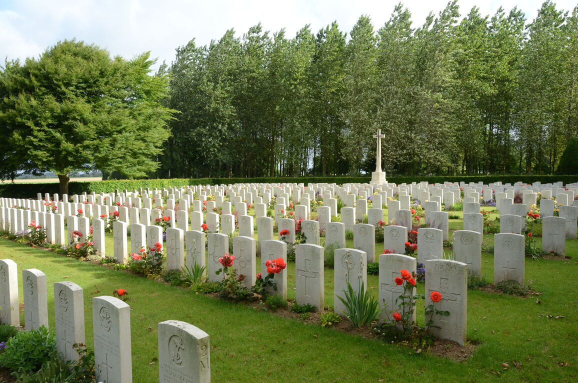
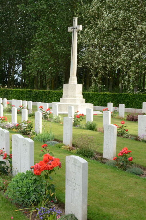
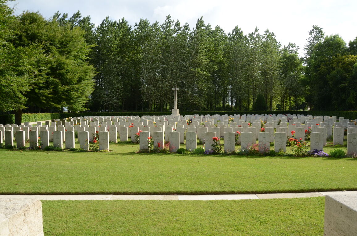
The Cross of Sacrifice is at the rear of the cemetery.
There is a stone paved path across the front of the cemetery.
The Register Box is built into a stone wall inside the main entrance (to the right of the entrance viewed from inside the cemetery.
The internal paths are grass and the ground is flat and firm.
ALTERNATIVE ACCESS
To the left of the main gate is a gap between the entrance wall and a hedge, over 1.20 metres wide.
The ground is flat and firm and leads into the burial area.
ADDITIONAL INFORMATION
The cemetery is permanently open.
History information
From the outbreak of the war to the summer of 1915, this part of the front was held by French troops, who began the military cemetery in June 1915. It continued to be used by Commonwealth field ambulances and fighting units, but burials practically ceased with the German withdrawal in February 1917. After the Armistice, 15 of the graves (Plot II, Row M, Graves 4-18) were brought in from scattered positions east of the cemetery.
The cemetery now contains 528 Commonwealth burials of the First World War, the French graves having been removed to other burial grounds.
The cemetery was designed by Sir Reginald Blomfield.


