Villafranca Padovana Communal Cemetery
- Country Italy
- Total identified casualties 1 Find these casualties
- Identified casualties from First World War
- GPS Coordinates Latitude: 45.49273, Longitude: 11.79382
Location information
To reach the cemetery from Padua War Cemetery, proceed for Via della Biscia in the direction MONTA' (Padova). At the end of Via della Biscia, at the traffic lights turn left and follow the road indication for Villafranca Padovana; the distance is approximately 12-13 kilometres.
When arriving at Ponterotto, then proceed towards Villafranca Piazzola sul Brenta, passing many villages: Taggi di Sotto, Taggi di Sopra, Villafranca Padovana. When you just pass over the border turn left for Via Madonna, taking this street which brings you to the Communal Cemetery.
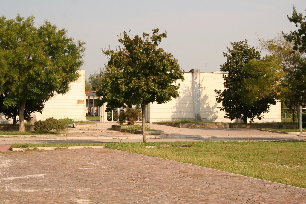
Cemetery address: Viale Rimembranza - 35010 Villafranca Padovana (PD).
GPS Co-ordinates: 45.49128, 11.794392.
Visiting information
Opening times:
Mondays to Fridays: 08:30 - 17:30
Saturdays and Public Holidays: 08:30 - 18:30
For further information and enquiries please contact enquiries@cwgc.org
History information
The Italians entered the war on the Allied side, declaring war on Austria, in May 1915. Commonwealth forces were at the Italian front between November 1917 and November 1918, and rest camps and medical units were established at various locations in northern Italy behind the front, some of them remaining until 1919.
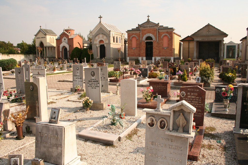
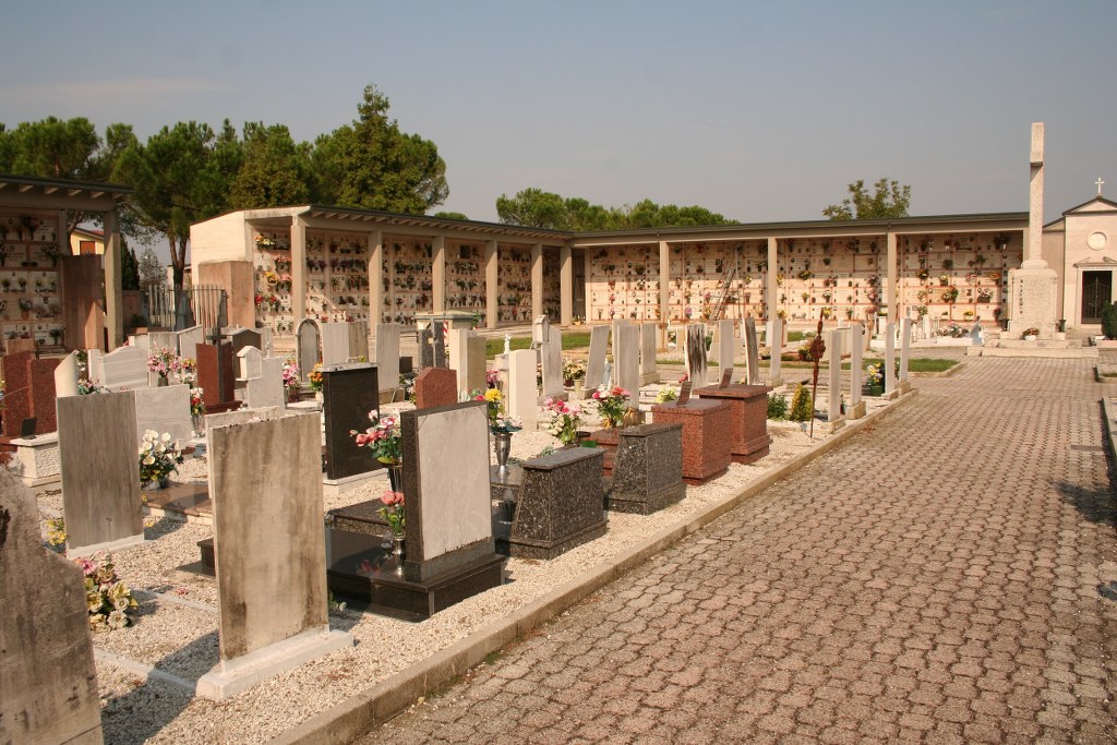
Villafranca Padovana Communal Cemetery contains one Commonwealth burial of the First World War.


