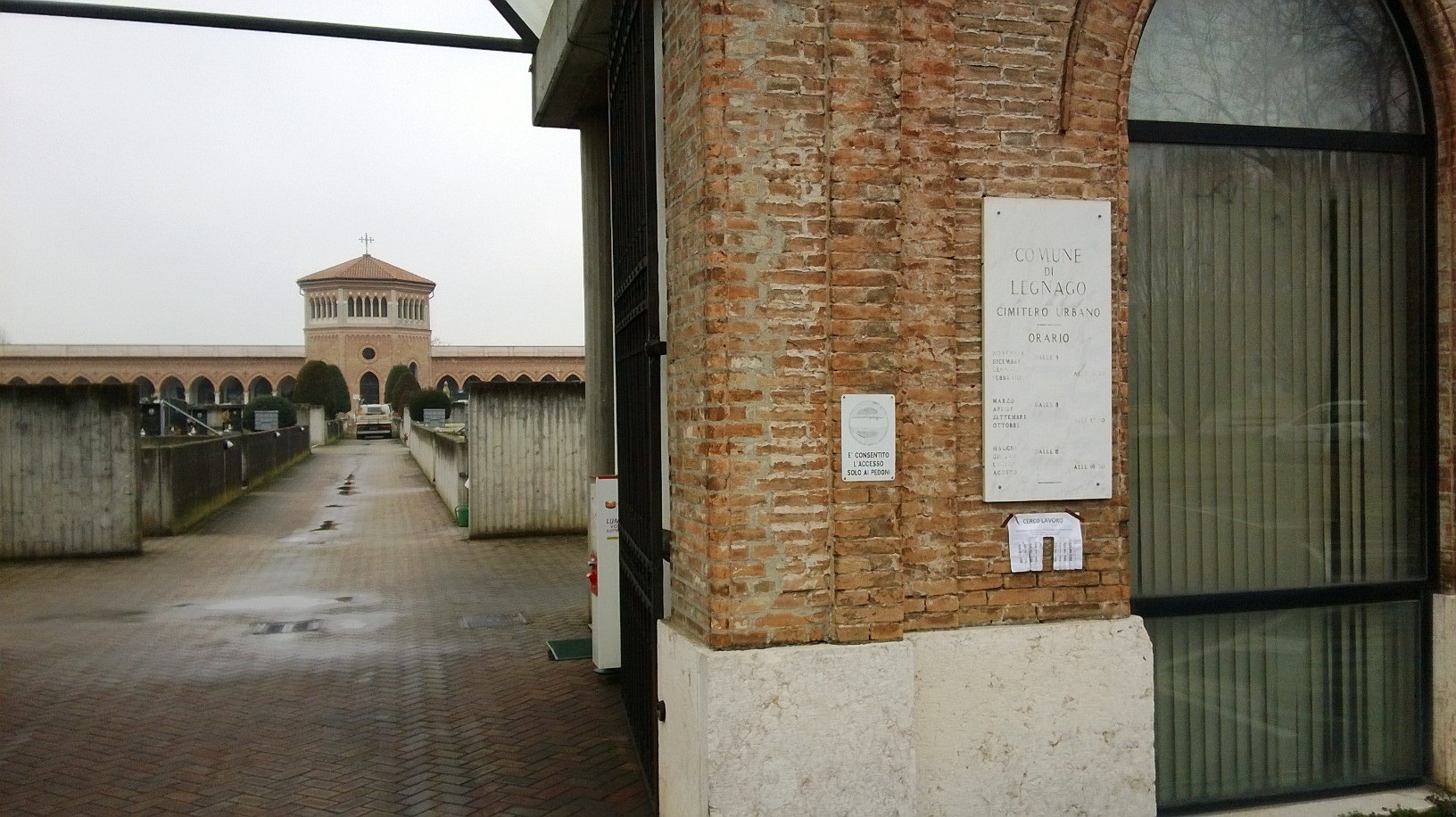
Legnago Communal Cemetery
- Country Italy
- Total identified casualties 1 Find these casualties
- Identified casualties from First World War
- GPS Coordinates Latitude: 45.19121, Longitude: 11.29034
Location information
This small town lies 40 kilometres east of Mantova on the Cremona-Padova route No.10. The cemetery lies on the north side of this road just after crossing the railway and just before entering the town. Leave the Laghi highway at Legnano and head for the town centre/hospital. After 2 sets of traffic lights, take the second exit at the large roundabout. Proceed to the next large roundabout and the cemetery will be seen on the left. There is a large area for parking.
The Commission grave is at the north end of the cemetery. Follow the central path to the small church. The grave is at the top of the steps, on the left.
Cemetery Address: Via Federico Chopin.
GPS Co-ordinates: 45° 11' 32" N, 11° 17' 22" E
Visiting information
This cemetery is open every day as follows:
March, April, September and October: 8:00am - 5:30pm
May, June, July and August: 8:00am - 6:30pm
November, December, January and February: 9:00am - 4:30pm
Closed at Christmas, 1st January, Easter, 1st May and 15th August.
Opening times on festival and bank holidays can be checked on: www.legnano.org
For further information and enquiries please contact enquiries@cwgc.org
History information
The Italians entered the war on the Allied side, declaring war on Austria, in May 1915. Commonwealth forces were at the Italian front between November 1917 and November 1918, and rest camps and medical units were established at various locations in northern Italy behind the front, some of them remaining until 1919.
From the Summer of 1917 until late 1918, the Mediterranean lines of communication for the British Salonika Force ran the length of Italy from Taranto in the south-east, to Turin in the north-west.
Legnago Communal Cemetery contains one Commonwealth burial of the First World War.


