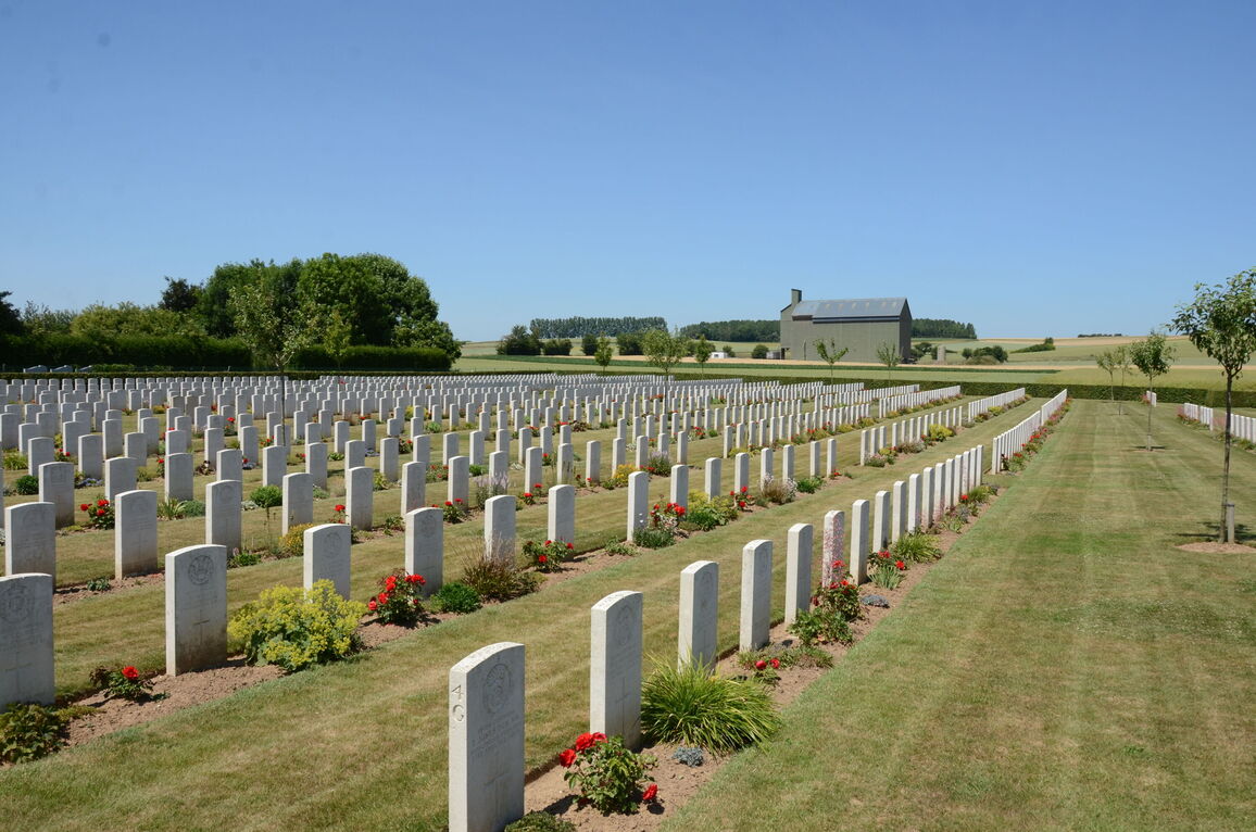
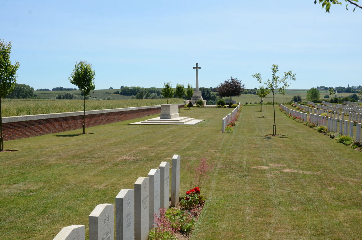
Warloy-Baillon Communal Cemetery Extension
- Country France
- Total identified casualties 1362 Find these casualties
- Region Somme
- Identified casualties from First & Second World War
- GPS Coordinates Latitude: 50.01302, Longitude: 2.5291
Location information
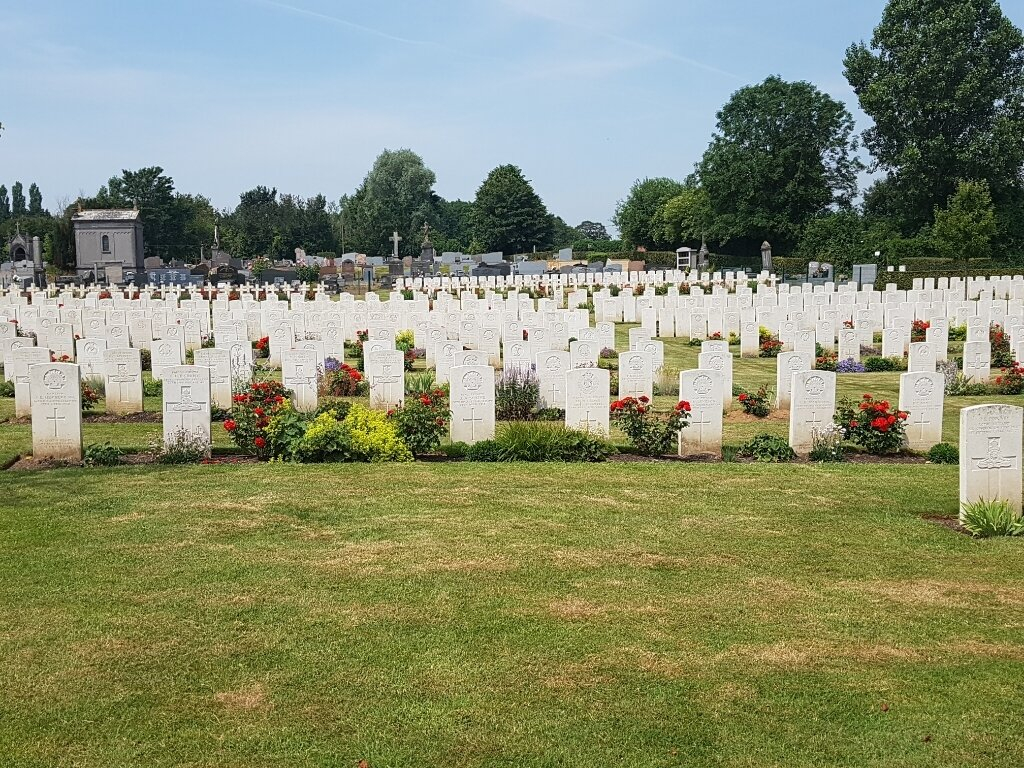
Warloy-Baillon is a village about 21 kilometres north-east of Amiens along the D919 to Arras. The Communal Cemetery is on the east side of the village and the extension is on the eastern side of the cemetery.
Visiting information
The cemetery is at all times open to the public.
Wheelchair access is possible with some difficulty. For further information regarding wheelchair access, please contact our Enquiries Section on telephone number 01628 507200.
History information
The first Commonwealth burial took place in the communal cemetery in October 1915 and the last on 1 July 1916. By that date, field ambulances had come to the village in readiness for the attack on the German front line eight kilometres away, and the extension was begun on the eastern side of the cemetery.
The fighting from July to November 1916 on the northern part of the Somme front accounts for the majority of the burials in the extension, but some are from the German attack in the spring of 1918.
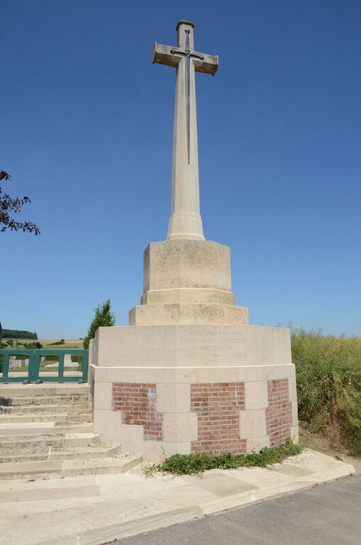
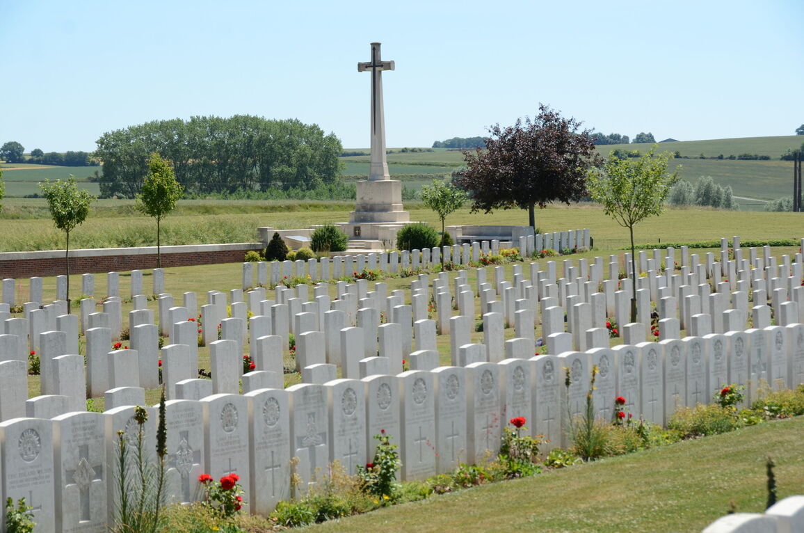
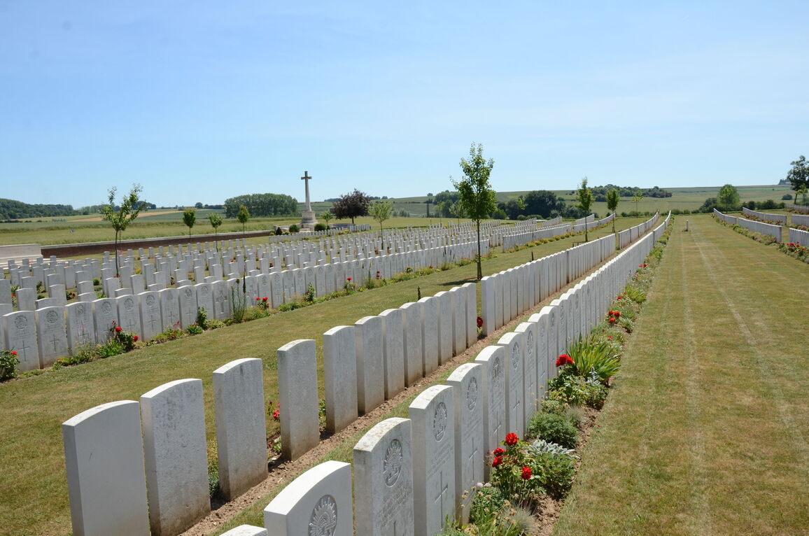
The extension contains 1,331 First World War Commonwealth burials and two from the Second World War. There are also 18 German war graves in the extension.
The communal cemetery contains 46 Commonwealth burials of the First World War and 158 French war graves.
The extension was designed by Sir Reginald Blomfield.


