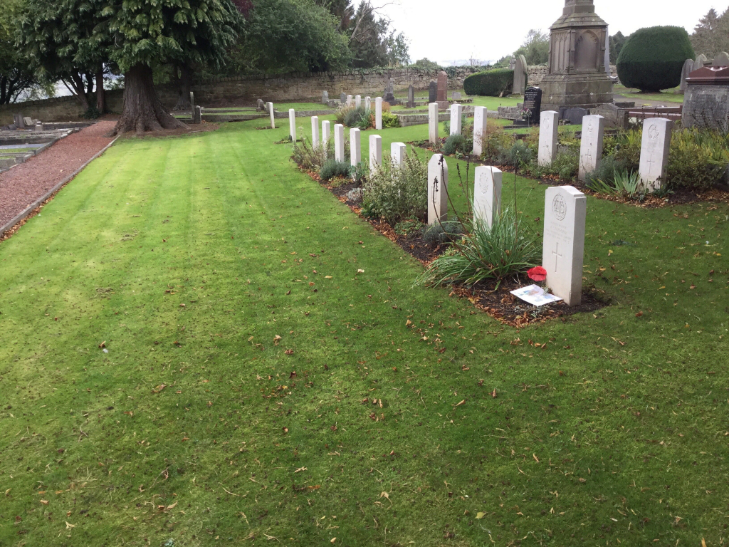
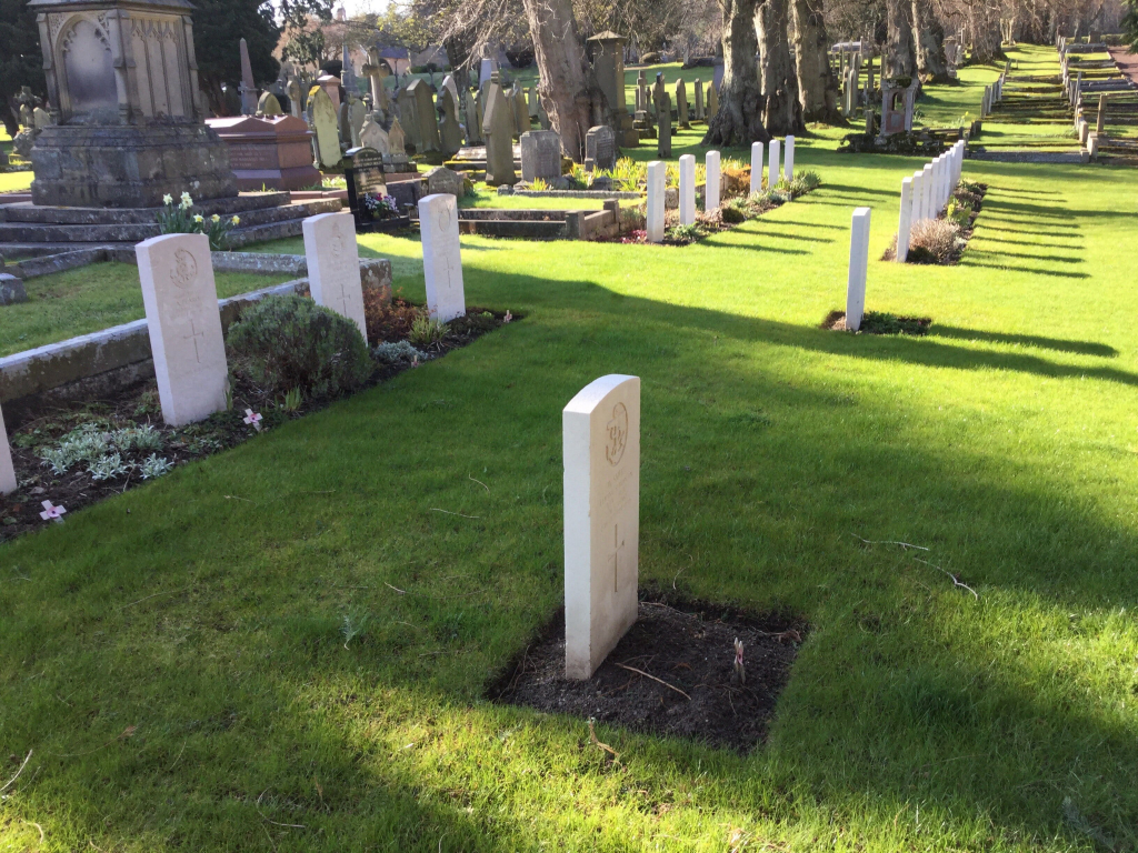
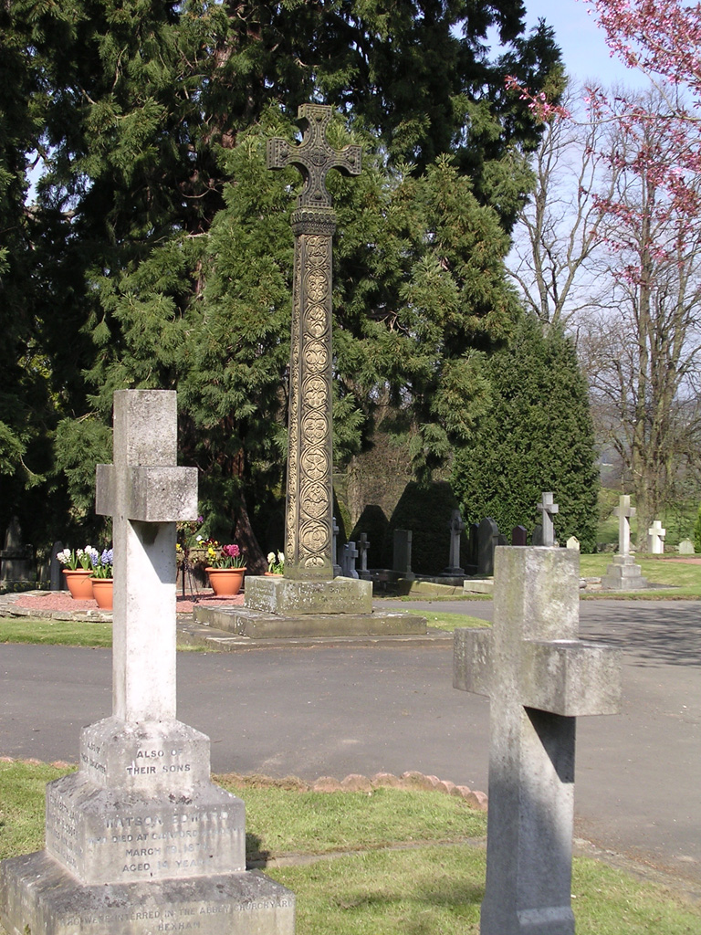
Hexham (St. Andrews) Cemetery
- Country United Kingdom
- Total identified casualties 46 Find these casualties
- Region Northumberland
- Identified casualties from First & Second World War
- GPS Coordinates Latitude: 54.97894, Longitude: -2.12764
Location information
This cemetery belongs to the Urban District Council, and is a mile West-North of the railway station.