Monreagh Presbyterian Churchyard
- Country Ireland, Republic of
- Total identified casualties 1 Find these casualties
- Region County Donegal
- Identified casualties from First World War
- GPS Coordinates Latitude: 54.95622, Longitude: -7.45617
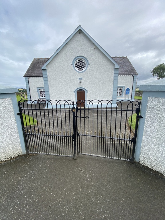
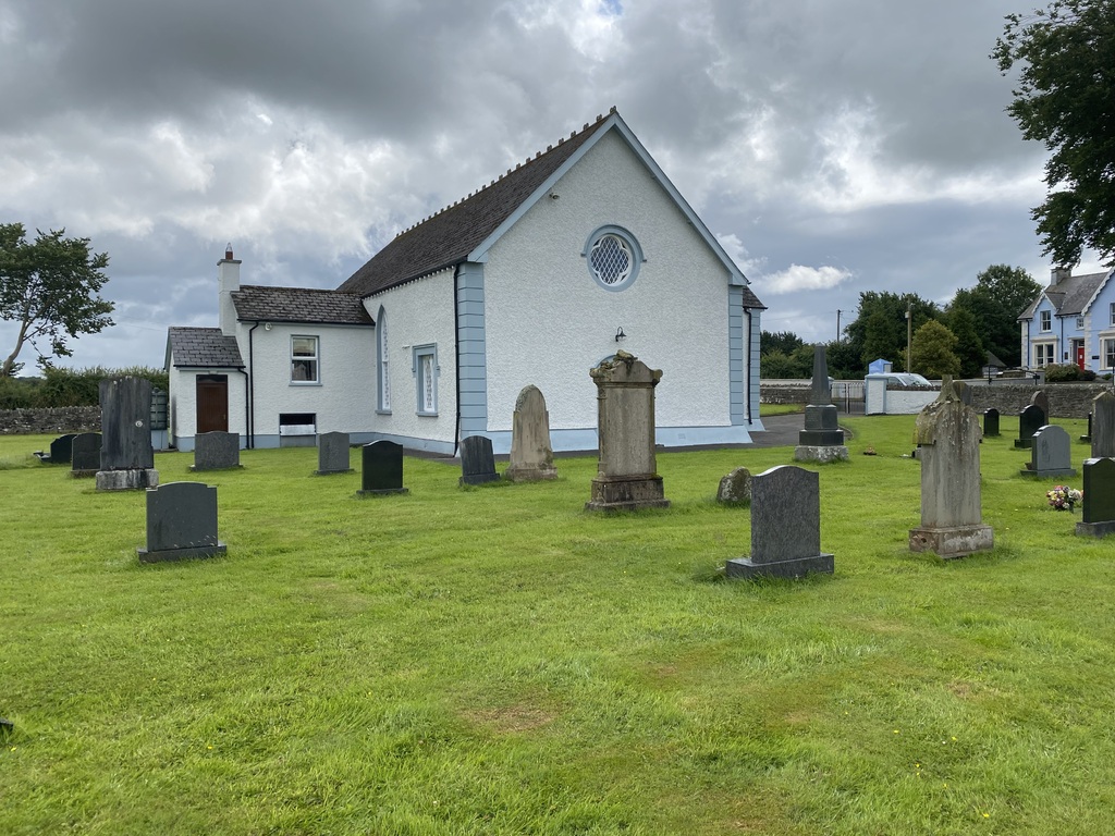
History information
This is on the Carrigans-Newtown Cunningham road, seven miles South of Londonderry.
There is 1 Commonwealth burial of the 1914-1918 war here.