Tarxien Cemetery
- Country Malta
- Total identified casualties 1 Find these casualties
- Identified casualties from Second World War
- GPS Coordinates Latitude: 35.86875, Longitude: 14.51159
Location information
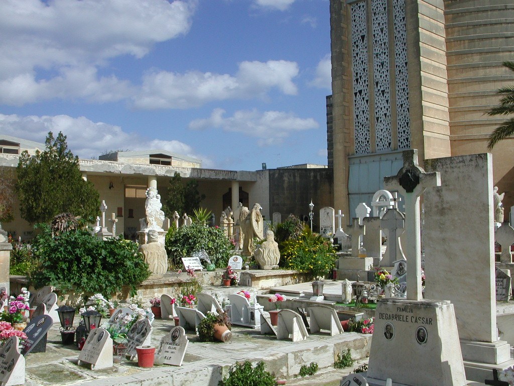
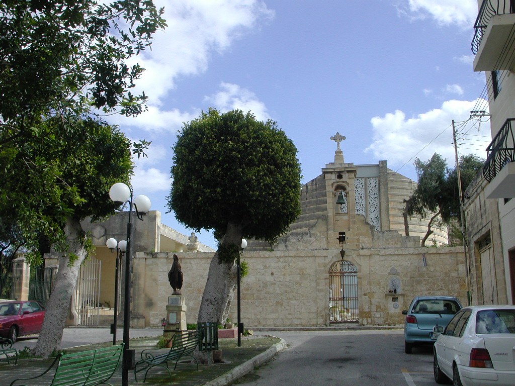
The village of Tarxien, well noted for its museum of "Neolithic Prehistoric Temples", is situated in the middle eastern part of the island, less than a ten minute drive from Luqa airport. To locate the cemetery, follow the road signs to Tarxien village. In the vicinity of the village follow again the road signs to "Neolithic Prehistoric Temples". The cemetery is situated to the right of the main museum entrance, in the road "Triq Santa Tereza".
The grave is situated to the right hand side of the entrance gate, adjacent to the boundary wall.
GPS Co-ordinates: Latitude 35.868843, Longitude 14.511679.
Visiting information
Opening times:
Monday to Friday 7:00am to 6.00pm
Saturday and Sunday 6:30am to 12.00pm
For further information and enquiries please contact enquiries@cwgc.org
History information
During the Second World War, Malta's position in the Mediterranean was of enormous Allied strategic importance. Heavily fortified, the island was never invaded, but was subjected to continual bombardment and blockade between Italy's entry into the war in June 1940 and the Axis defeat at El Alamein in November 1942. At the height of Axis attempts to break Malta's resistance in April 1942, the island and her people were awarded the George Cross by King George VI.
Malta's defence relied upon a combined operation in which the contributions made by the three branches of the armed forces and Merchant Navy were equally crucial. Although heavily pressed in defence, offensive raids launched from the island by air and sea had a crippling effect on the Axis lines of communication with North Africa, and played a vital part in the eventual Allied success there.
Tarxien Cemetery contains one Commonwealth burial of the Second World War.