Rangoon War Cemetery
- Country Myanmar
- Total identified casualties 1332 Find these casualties
- Identified casualties from First & Second World War
- GPS Coordinates Latitude: 16.81157, Longitude: 96.13381
gardens of the death railway

Thanbyuzayat War Cemetery.
Pounding heat and flash floods – the weather in Myanmar poses the Commonwealth War Graves Commission its fair share of difficulties.
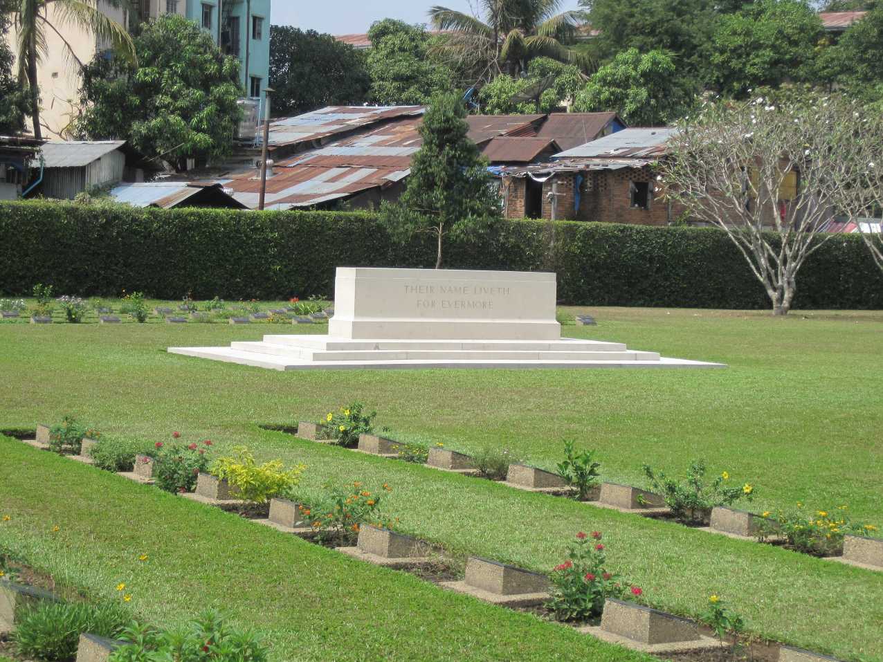
Our team here is responsible for maintaining nearly 12,000 graves, but the graves look a little different to those familiar with our work in Europe. Each one is marked by a bronze plaque set into the ground on a pedestal of stone.
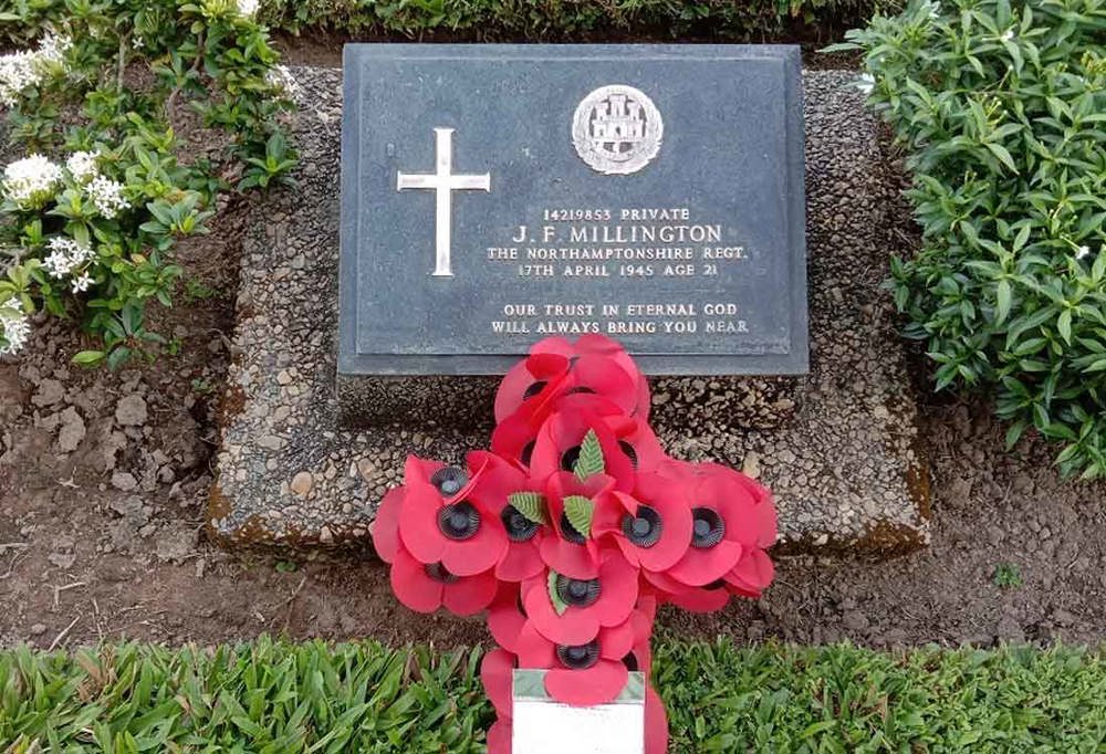
In Myanmar bronze plaques take the place of Portland headstones to better withstand the climate.
These plaques weather better than Portland headstones in the intense heat and the rain of South East Asia.
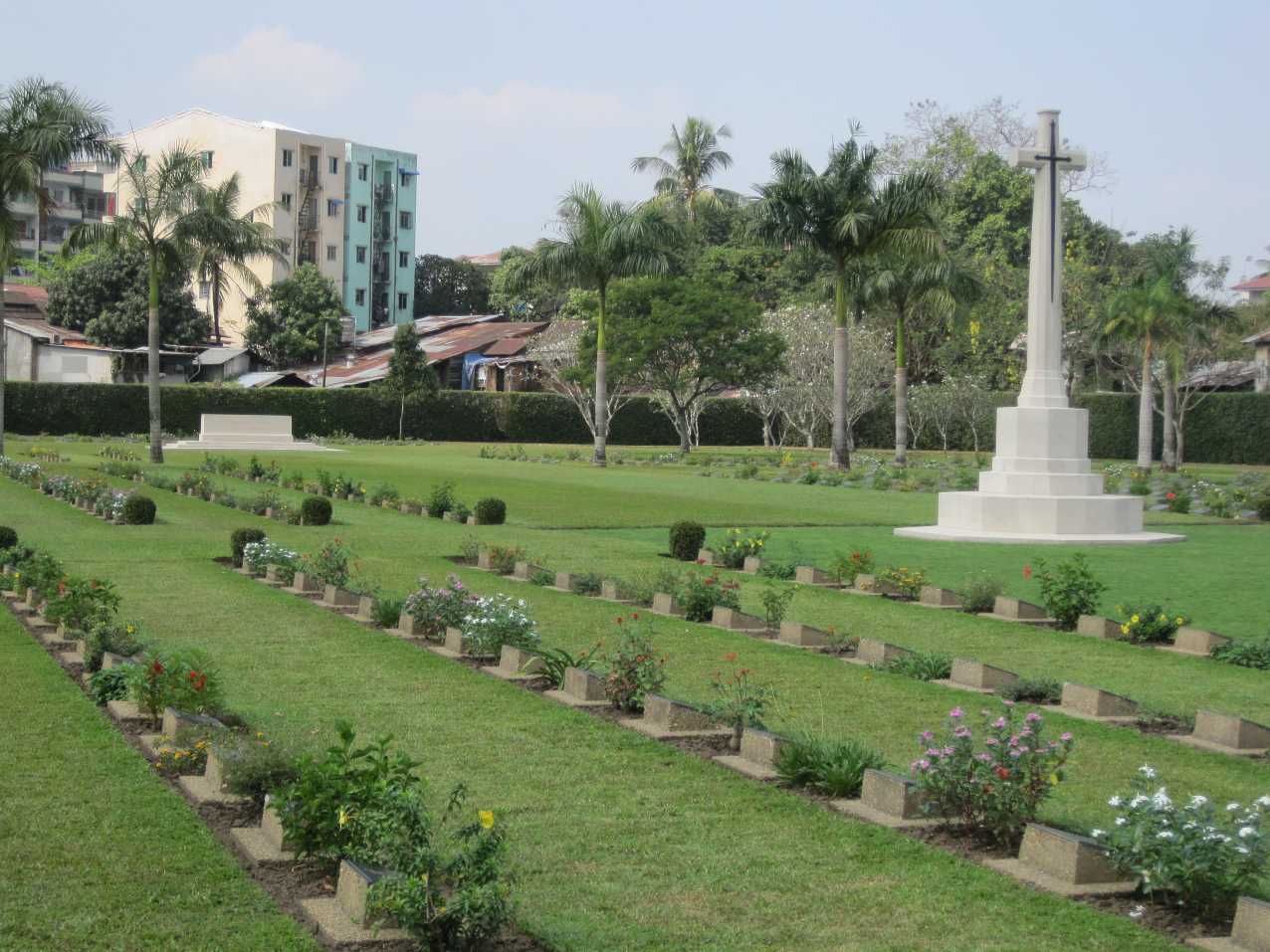
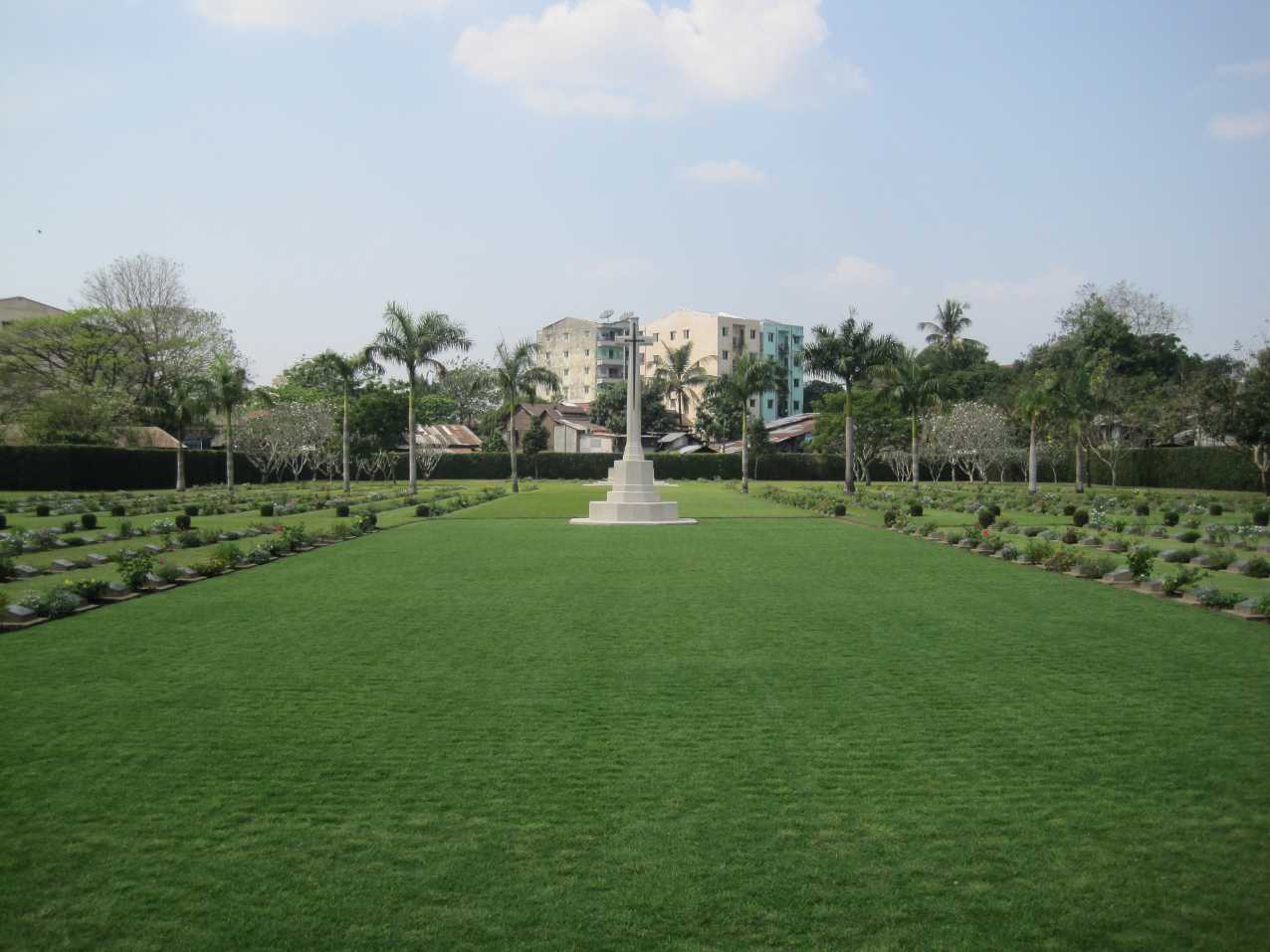
In Yangon – known to the British during the Second World War as Rangoon – we face opposing problems from the weather.
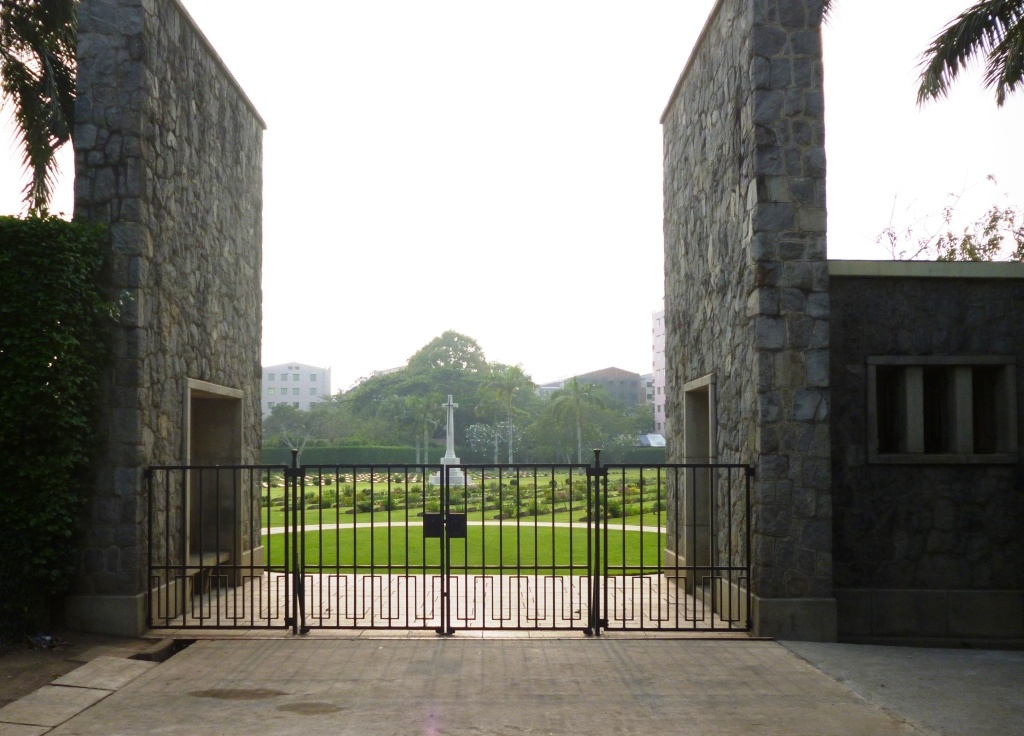
Rangoon War Cemetery, in the busy city centre, gets regularly submerged by flash floods. Our gardeners have to sweep away debris on a daily basis in the rainy season.
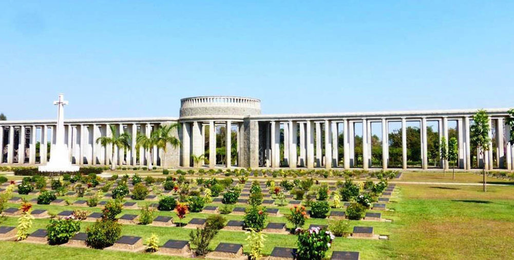
The iconic Rangoon Memorial at the heart of Taukkyan War Cemetery.
Yet just one hour away on the outskirts, at Taukkyan War Cemetery, we face a constant battle against the parched ground in the brutally hot and dry weather.
Taukkyan is a vast cemetery with almost 6,500 graves. They are carefully laid out in rows around the distinctive shape of the Rangoon Memorial, which lists almost 27,000 missing war dead.
The war memorial is beginning to show signs of its age and we are preparing to restore it.
In its shadow, lies a more recent row of bronze plaques. They sit in a special plot, naming the 16 men aboard Dakota KN584.
The plane crashed in September 1945 killing all aboard. Only recently was it found they had been buried deep in the jungle, making recovery impractical. Instead, their relatives now have somewhere accessible to pay their respects with a row of special memorials in our war cemetery.
The last of our three sites in Myanmar is Thanbyuzayat. The cemetery sits a stone’s throw from the end of the infamous death railway.
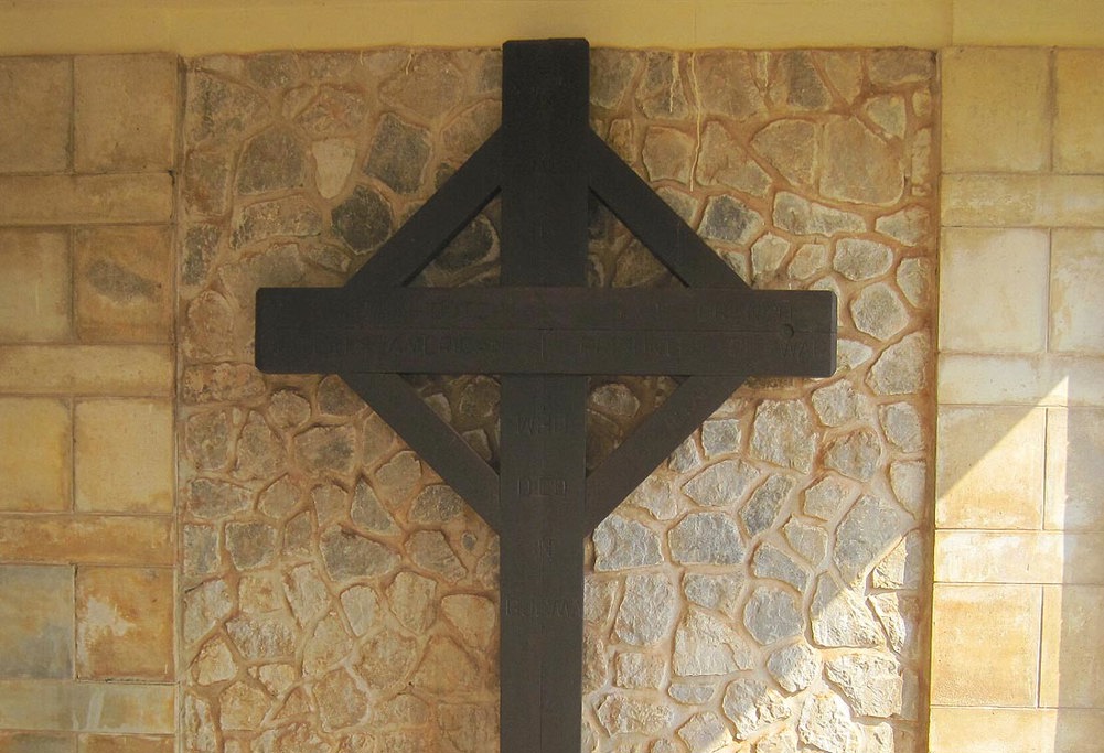
A cross at the entrance to Thanbyuzayat, made from wooden sleepers on the death railway.
This cross-country route was built by forced labour, including prisoners of war, during the Second World War, in often gruelling conditions. It has been said that a man died for every sleeper laid across the 415-kilometre (258 mi) route of the railway. Many of those who died, lie at rest in CWGC’s care.
And as a reminder of what they went through, visitors to Thanbyuzayat will see a handmade wooden cross in the cemetery’s entrance, assembled out of those infamous railway sleepers by prisoners.
Location information
The cemetery is situated between Myienegone and Manthawaddy roundabout (close to the circle) and at the back of Burma Translation Society (Sarbaybeikmann).
The entrance to the cemetery is in a lane facing east along PYI road (formerly Prome Road) some 8 kilometres from the port, 12 kilometres from the airport and 5 kilometres from the main railway station. Monasteries surround the cemetery on three sides.
Visiting information
The cemetery is tended by locally engaged staff and a Caretaker resides on site. The cemetery is open Monday-Friday between 07:00-17:00.
Wheelchair access to this cemetery is possible via the main entrance. For further information regarding wheelchair access, please contact our Enquiries Section on 01628 507200.
History information
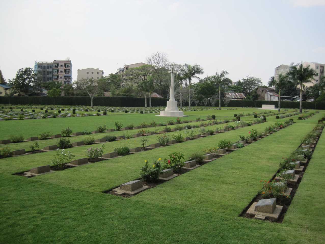
Rangoon War Cemetery was first used as a burial ground immediately following the recapture of Rangoon in May 1945. Later, the Army Graves Service moved in graves from several burial sites in and around Rangoon, including those of the men who died in Rangoon Jail as prisoners of war.
There are now 1,381 Commonwealth servicemen of the Second World War buried or commemorated in this cemetery. 85 of the burials are unidentified and there are special memorials to more than 60 casualties whose graves could not be precisely located.
In 1948, the graves of 36 Commonwealth servicemen who died in Rangoon during the First World War were moved into this cemetery, 35 of them from Rangoon Cantonment Cemetery and one from Rangoon (Pazundaung) Town Cemetery.
The Rangoon Memorial is located in Taukkyan War Cemetery.